Friday, June 7, 2013

Empty Byway #3: Blacktail Plateau Drive, Yellowstone National Park


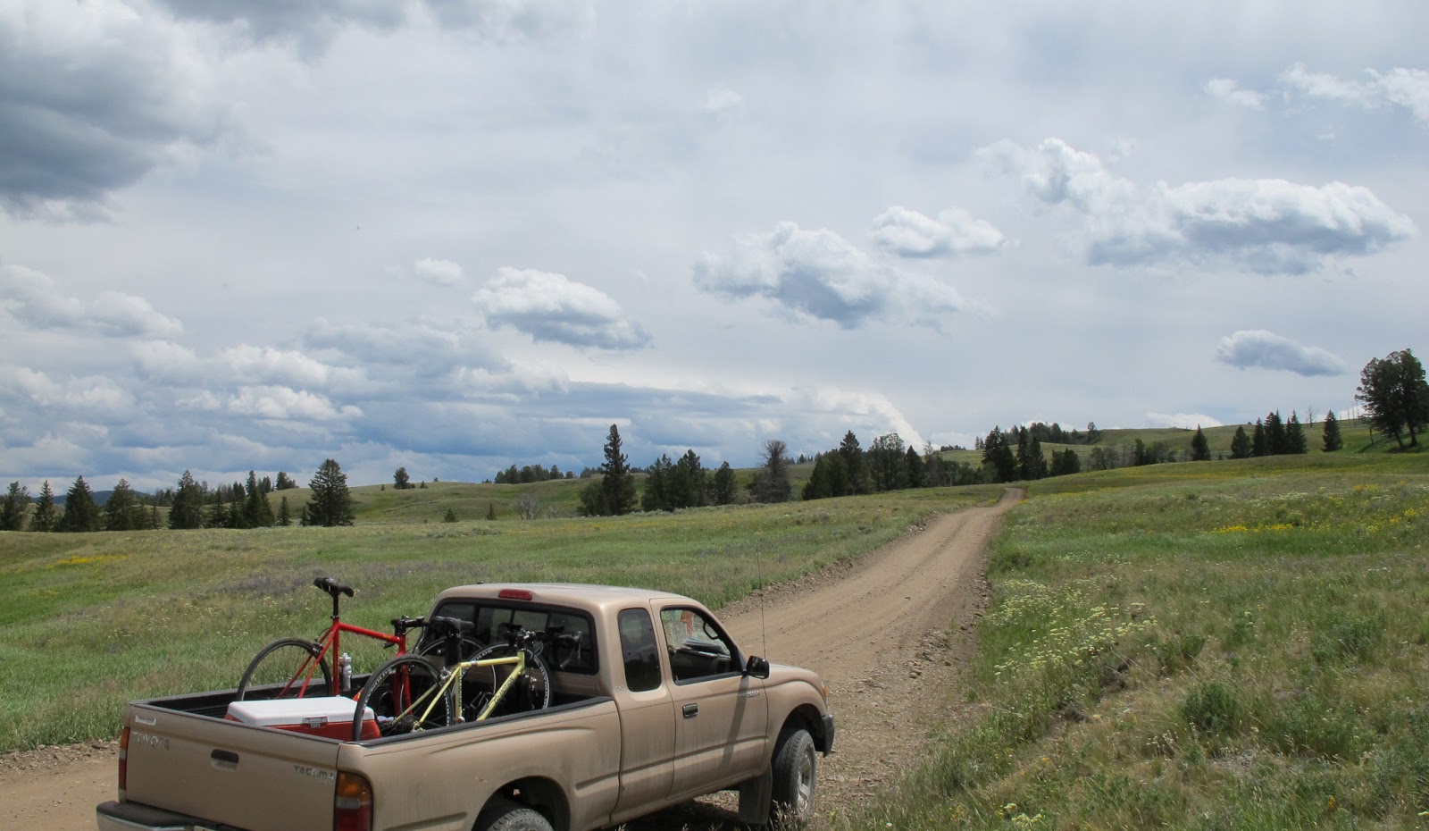
The one-way west-to-east gravel road known as the Blacktail Plateau Drive is a terrific place to get away from the heavier Mammoth-to-Tower traffic in Yellowstone and experience a slice of the national park seen by a relative handful of visitors. About seven miles in length, it also makes a great mountain-bike ride.

The first part of the outing, through meadows and scattered forest, is pleasant. But the final couple of miles are nothing short of stupendous, as you look far out over the gash of the Yellowstone River canyon and the surrounding mountains. (Nervous drivers might get a little shaky on this section.)


Make the drive in July, and you'll be flamblastulated by the wildflower displays. (I made that word up, because I couldn't find an existing word that would do the colorful show justice.)


 The chances of spotting wildlife are good, too, from elk to pronghorn to grizzly bears.

Adapted from the travel app Yellowstone Hotspots, available at the iTunes Store and Google Play.

Saturday, June 1, 2013

Empty Byway #2: The Katy Trail, Missouri


Not a highway, but a long, skinny state park, running 225 miles from St. Charles to Clinton, Missouri. 

Often regarded as the crown jewel of North American rail-trail projects, the KatyTrail follows a former route of the Missouri-Kansas-Texas Railroad – the MK&T, or Katy for short – between St. Charles and Sedalia, Missouri. (The Union Pacific Railroad contributed the southwesternmost portion, between Sedalia and Clinton.) A quiet artery, the Katy Trail transports non-motorized travelers through the heart of the Show-Me State. On a grander scale, the riverside portions of the trail between St. Charles and Boonville serve as components of a pair of trails that are national in scope: the Lewis and Clark National Historic Trail and the coast-to-coast American DiscoveryTrail

The trail travels through dense hardwood forests, wetlands, sheltered valleys, manipulated pasturelands and crop fields, and occasional patches of restored tallgrass prairie. Redbud and a host of spring wildflowers bid colorful adieu to the drab days of winter, while autumn explodes into a multi-colored confusion of shrubs and hardwoods, highlighted with the flaming reds of sugar maples. 

From St. Charles, located just across the Missouri River from St. Louis, to New Franklin, a distance of nearly 150 miles, the trail more or less hugs the northern bank of the Missouri. At New Franklin it veers south to cross the river into Boonville, then departs the Missouri, bearing southwest through sun-drenched prairie-turned-farmland. Although very long, the trail is only a few feet wide, so leaving the right-of-way often means trespassing.

Some avid bicyclists tackle the entire trail over a period of four or five days, usually staying at indoors accommodations. More common are day trips, either out and back on the trail, out on the trail and returning via shuttle, or a loop fashioned by riding a portion of the Katy Trail and adjacent low-traffic roads. Road bikes are suitable for the surface of finely crushed limestone, although many riders prefer the added comfort of a hybrid or mountain bike. Likewise, most of the gently graded route is negotiable by those in wheelchairs.


As good a place as any to hit the trail is Rocheport, an attractive burg containing numerous bed-and-breakfast inns and pre-Civil War homes. To find the trailhead, turn south off Third Street onto Pike Street and go two blocks. From the parking area ride east on the trail as it squeezes between marshlands to your right and timbered bluffs on the left. Soon you’ll come in beside the Missouri River – wide, deep, brown, log-hauling, and twirling with whirlpools.

As you leave the hum of the high interstate bridge behind, the unsurprising sight of scores of swallows darting in and out of their bluffside shelters is accompanied by a less expected vision: that of the occasional Canada goose roosting on a rock ledge. Look for red-headed woodpeckers and other birds in the huge cottonwood snags in a slough between milepost 177 and 176. Also keep an eye out for browsing cottontails and for deer tracks in the soft sand along the margins of the trail.

Deep, steep drainage ravines can be seen on private lands to the north, if you can manage to peer through the dense veil of vegetation. A couple of miles after passing a marker commemorating the Lewis and Clark campsite of June 6, 1804, you’ll note the MKT Nature and Fitness Trail, a 9-mile spur that leads into the heart of the city of Columbia. At 8.5 miles cumulative, you’ll reach the trailhead of McBaine. To make for an out-and-back trip of 20 miles even, continue for another 1.5 miles, first passing through open fields where gorgeous spreads of spiderwort, with its three violet-blue petals and bright yellow stamens, rival the electrifying brilliance of an indigo bunting flashing past. At the turnaround, near the next series of sycamore-smothered bluffs, watch for blue herons standing tall in the wetlands between river and trail.   

Back in Rocheport, check out the old railroad tunnel on the trail just to the west of where you started, then stand awhile on the adjacent bridge spanning Moniteau Creek. Peer down, and sooner or later you’ll see a red-eared slider come bobbing slowly downstream on a log.